2.1
Loading-state flag
One table row per vessel per pass
Laden, part-laden or ballast for each vessel on your list, each time a usable image of it exists. Three states, nothing finer.
A weekly optical read of freeboard and waterline, flagged laden, part-laden or ballast, for the vessels on your list.
01The job today
You track the vessels that matter to your book. Their AIS positions land on your screen without any effort from you, so where a ship is never troubles you. Whether it is carrying anything does.
So you piece it together. The draught field in the AIS message is typed in by the crew, and on a long voyage it is not always touched between ports. The direction of travel gives you a hint. A bulker heading for the load port is most likely in ballast. A broker's note, a port agent's line or the port call report fills in more, but the report comes after the vessel has already arrived, which can be late for the decision you are making.
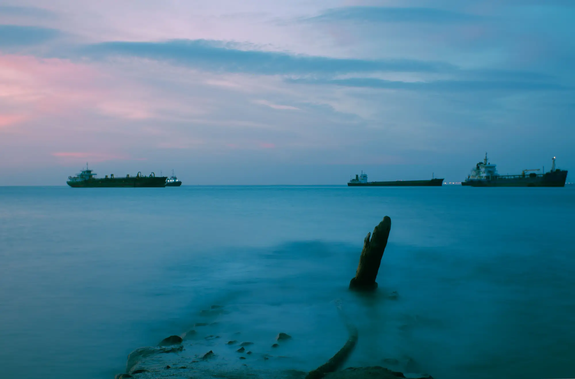
The bad week is the one where the reported draught and the voyage story disagree. A vessel shows as light when the fixture says it should be full, and the laycan is closing. You either trust the field or you phone someone, and neither gives you a second, independent look. The fleet view you send upstairs is only as good as the stalest entry on the list.
Ship Loading State adds that second look. Once a week it reads the hull from above, sets freeboard and waterline against the hull, and tells you which state the vessel looks to be in. The flag comes with the date of the image, so you can lay it next to what AIS and the port said that week.
02What you get
This is early access. The list below is the scope we would pilot with you, and it is not a live service.
2.1
One table row per vessel per pass
Laden, part-laden or ballast for each vessel on your list, each time a usable image of it exists. Three states, nothing finer.
2.2
Date field
The date of the image each flag was read from. Check it against an AIS message or a port call report from the same days.
2.3
Table or API feed
Delivered as a table you can open on the desk, or as a feed you join to your own tracked-vessel list by IMO number. You choose which when the pilot is set up.
03How it works
A list of vessels or a fleet, by IMO number, taken straight from your tracked-vessel list.
Very high resolution satellite or aerial imagery is checked each week for a clear, directly-overhead look at each vessel. If there is none, there is no flag that week.
The height of the hull side above the waterline is read against the vessel's own hull shape, then sorted into one of the three states.
Each flag arrives with the date of the image behind it, as a table row or a feed record.
04Where it fits
It sits beside AIS draught and the port call report and replaces neither. It earns its place when a vessel's own reporting looks stale or is being contested and you want an independent look at the same hull.
The fleet view you report upwards can then carry two sources for the vessels that matter most, with the image date beside each flag.
05Limits
These are the ways an image-based loading read can mislead you, stated here and again in the FAQ.
The flag says laden, part-laden or ballast. It gives no cargo tonnage and no draught in metres.
Optical imagery needs a clear daylight pass. Cloud over the vessel that week means no flag. A missing flag stays missing and is never filled in with a guess.
A vessel at berth, tied alongside another ship, or partly hidden by cranes or cloud is not covered. The read needs the hull side and waterline in clear view.
Cadence is weekly when the vessel is in view and the sky is clear. It is not real time, and some vessels will go several weeks without a usable pass.
At this resolution the hull and its waterline show, but the draught marks and the load line are far too small to read. The flag comes from freeboard and waterline, never from painted numbers.
Reading loading state optically is still being proven across hull types. Some hulls will read better than others, and the pilot is partly how we find out which.
06Who it's for
07FAQ
No. It is a second, image-based read of the same hull. Use it beside AIS and the port call report.
There is no usable pass that week, and no flag is issued. We leave the gap.
Yes. Optical imagery needs a clear daylight pass, so a cloudy week over the vessel gives no read.
Three states, with no tonnage estimate. The resolution tier does not support anything finer, and we will not claim it does.
Every flag carries the date of its source image. Set it against the AIS message, the broker report or the port call report from the same days, and tell us where they disagree. Those disagreements are what the pilot is for.
Yes, that is how the pilot starts. You give us the vessels or fleet by IMO number, and the output joins back to your list.
Terms for the delivered flags and the imagery behind them are set in the pilot agreement before anything is delivered.
There is no price on this page. Pilot scope and terms are agreed with you individually once you are on the list.
No go-live date has been set. You would be joining a pilot list and helping shape what gets built.